An architectural site plan is an architectural plan with a detailed engineering drawing. A site plan comprises;
Foot print, drainage facilities, water lines, lighting and land scaping. (in which the measurements and details of materials are well specified).
- Property Lines- Show all property lines and dimensions of each.
- Adjacent Roads and Right-of-Way 1) Show name of adjacent roads, centerline of road and width of the right-of-way. 2) Show all existing improvements within the right-of-way including driveways, drainage ditches, storm drain/culverts, fences, retaining walls, curbs, etc.
- Easements Indicate the location and dimensions of all easements in relation to property lines, structures and OSS components. Typical easements include those for utilities, access, drainage dike and railroads.
- Driveway Encroachment Indicate the location and dimensions of all connections between the adjacent public roads and private driveways or roads.
Minor site plan-a site plan that doesn’t involve no exterior utility construction. Example, the sewer water sanitary sewer. The don’t have more than 12 parking spaces.
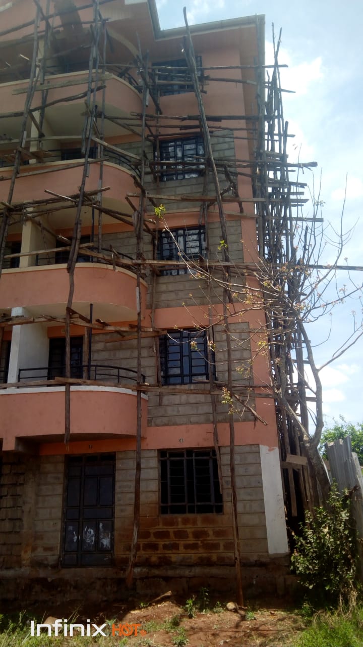
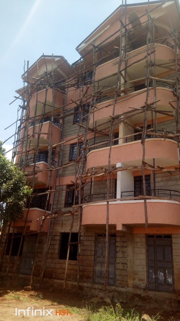
Major site plan- in this site plan it involves exterior utility construction. This are for big kind of projects since also the parking spaces are more than 12.
Site Plan Requirements should contain the following information:
- Dimensions of the site or plot;
- Location and width of all public and private streets, driveways, and other vehicular circulation areas;
- Location of all existing and proposed structures;
- The proposed use at the site;
- Square footage, footprint dimensions, and height of proposed building or addition, and required building setbacks;
- Location of all existing water, sanitary sewer, storm sewer, electric and cable television lines, easements and poles;
- Location of any proposed parking spaces and dimensions and access points;
- A copy of the approved Demolition Permit if the proposal includes demolition work.
It should also have information on:
- Project name, date, north arrow, location map (a map which clearly shows the location of the property in respect to existing road and landmark;
- a scale and date.
Various types of site plans.
According to topography,
SLOPING
This kind of plans is on a gently sloping land, one way of building on steeply sloping land is to build out from it on a series of supporting stilts or columns. This gets away from the need to build extensive foundations on sloping ground and it negates the need for tanking. It also leaves the ground relatively untouched, allowing planting to take place over much more of the site. In certain situations, it can be the cost-effective solution.
This describes the process of carving out a level support on a sloping site, in order to build a home that is essentially designed for use on a level site. Any spoil that is cut from the bank is reserved in order for it to be brought back to make up the levels on the lower edge. The foundation costs are always going to increase due to the slope of the land and the requirement that the foundations should find original subsoil bearing. If the spoil is piled up against the lower or built up section of the new home then provision will have to be made for the oversite level within the building to be brought up to within 600mm of the proposed external soil level, in order to equalize the pressure on the walling.
FLAT
This kind of site plans don’t require so much attention since they are based on a flat land. Other than levelling and the sort it should not be cost effective too.
General Requirements
- All Site Plans shall be clearly and accurately drawn to scale on paper – minimum size is 8.5” x 11”, maximum size is 11” x 17”.
- Linework – Use “solid” lines for all improvements at grade. Use “dashed” or “broken” lines for all improvements below grade (septic systems) or above grade (roof lines).
- Clearly differentiate on drawings between existing and new conditions or improvements.